Cape Coral Neighborhood Guide by Quadrant
Cape Coral is one of the largest cities by land area in Florida, and it does not have neighborhoods in the way older cities do. It has a grid — an enormous platted grid laid out in the late 1950s and 1960s by developers who dredged canals, sold the spoil as fill, and marketed the result nationwide. There are no historic districts to anchor identity and few natural boundaries to divide it. What Cape Coral has instead is quadrants.
Every address here is northwest, northeast, southwest or southeast, defined by Pine Island Road running east-west and Del Prado Boulevard running north-south. Locals use those quadrant labels the way people elsewhere use neighborhood names, and for good reason: the four quadrants genuinely differ in age, water access, infrastructure and character.
How Cape Coral Is Laid Out
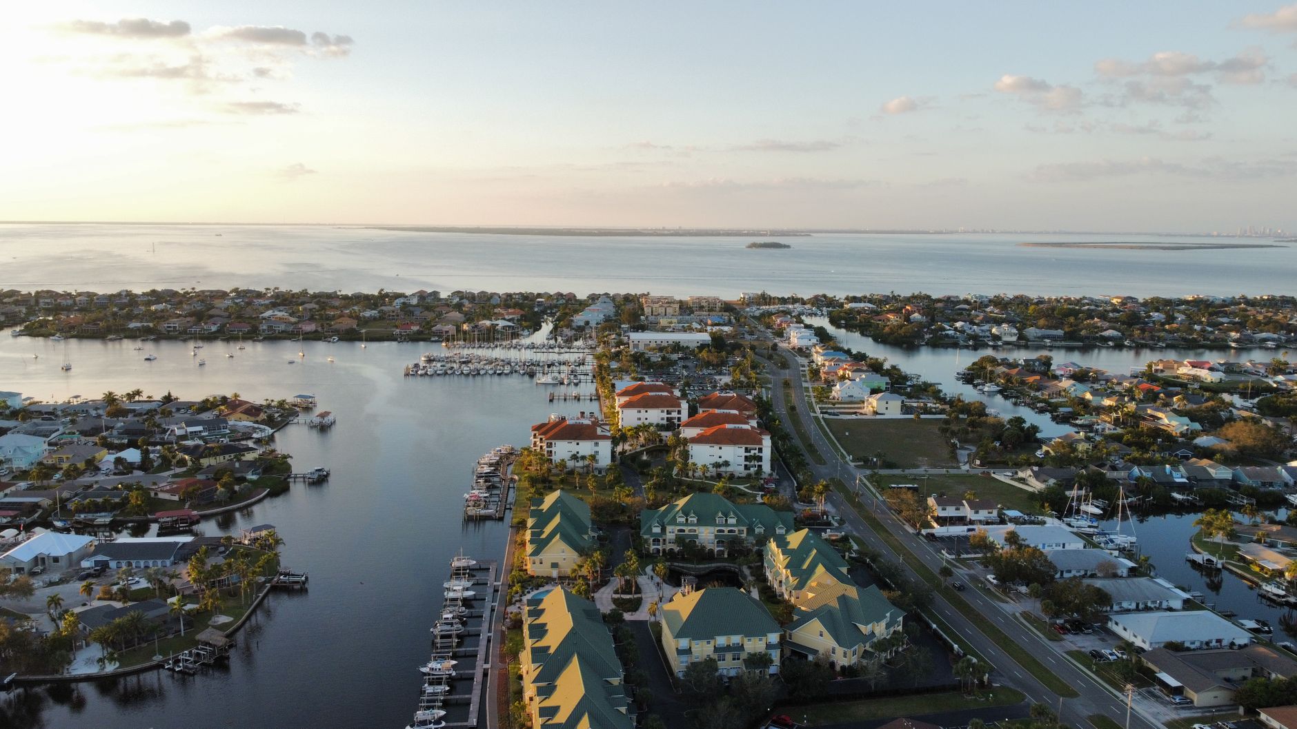
The city occupies the peninsula between the Caloosahatchee River to the south and east and Matlacha Pass to the west, in Lee County across the water from Fort Myers. The canal network — hundreds of miles of it — was cut to make interior lots saleable as waterfront, and that engineering decision still governs value today. Lot pricing varies sharply by quadrant here, so read our buying a waterfront lot in Southwest Florida before assuming one canal system prices like another.
Two distinctions matter more than any other. First, saltwater versus freshwater: a large share of the city’s canals are freshwater drainage and retention systems with no navigable connection to open water. Second, within the saltwater network, whether the route to open water is unobstructed, bridge-limited, or passes through the Chiquita Lock in the southwest. Our Cape Coral Gulf-access canal guide treats that question in detail, and the Gulf access explainer covers how to classify any listing’s claim honestly.
Development also ran from south to north over the decades. That single fact explains most of what follows: the southern quadrants are older, denser and more built out; the northern quadrants are newer, more open, and still filling in.
Southwest Cape: Established and Water-Oriented
The southwest quadrant is the most established water-oriented part of the city. It carries a dense saltwater canal network, mature landscaping, a high concentration of homes with docks and lifts, and short water routes toward the river and Matlacha Pass.
It is also where the Chiquita Lock sits, on the south spreader waterway. Boats moving between parts of the southwest canal system and the river pass through it. A lock adds transit time and a queue on busy weekends, and its long-term status has been the subject of extended public and legal debate. None of that makes the quadrant a poor choice — it is one of the most desirable parts of the city — but a buyer should know whether a given address is inside or outside the lock, and should confirm it on a chart rather than by neighborhood reputation.
Southwest Cape also puts you closest to the Cape Harbour and Tarpon Point marina and dining districts, which give this quadrant something the rest of the city has less of: destinations you can walk or take a short ride to.
Southeast Cape and Downtown Proximity
The southeast quadrant is the city’s oldest section and holds the closest thing Cape Coral has to a downtown: the South Cape district along Cape Coral Parkway, with restaurants, bars and the Cape Coral Bridge connecting to Fort Myers.
Water access here is oriented to the Caloosahatchee River rather than to Matlacha Pass, which makes it the natural choice for boaters heading east up the river toward the Franklin Lock and the Okeechobee Waterway, or downriver toward the Sanibel area. Bridge clearances on the river routes are a real constraint for taller vessels and should be verified against the NOAA chart and the Coast Guard Light List for the specific spans in your route.
Southeast is also where a buyer is most likely to find older housing stock, smaller lots and shorter commutes across the bridges to Fort Myers. For someone who works on the mainland or wants to walk to a restaurant district, that combination is hard to reproduce elsewhere in the city.
North Cape Growth Corridors
North of Pine Island Road, the character changes. The northern quadrants are where Cape Coral has been growing, with newer construction on previously vacant platted lots, newer schools and commercial development following the rooftops along the main corridors.
The northeast quadrant carries a large inventory of freshwater canal and dry lots. Some of that freshwater frontage is genuinely lovely and prices differently from saltwater frontage precisely because a boat cannot leave it. Buyers should be exact about this distinction, because listing language often is not.
Growth brings its own considerations: construction activity on neighboring lots, evolving traffic on the arterials, and the ongoing extension of city services into areas that were platted long before anyone planned to serve them.
Northwest Cape and Larger Lots
The northwest quadrant is the least built-out part of the city. Lots tend to be larger or, at minimum, to feel larger because vacancy rates on surrounding parcels are higher. Buyers looking to build, to keep horses or equipment on acreage-adjacent parcels, or simply to have distance from neighbors, gravitate here.
The trade-offs are distance and services. Shopping, medical care and the bridges to Fort Myers are all further away. Some parcels remain on well and septic pending the arrival of central utilities. And water access in the northwest varies enormously — some of it connects toward Matlacha Pass, much of it does not connect at all.
Utilities, Assessments and Infrastructure Questions
This is the item that most surprises out-of-area buyers, and it applies citywide but especially in the north.
Cape Coral has been extending central water, sewer and irrigation into previously unserved areas for years through a phased utilities extension program, and the cost is levied as an assessment on the benefiting parcels. For any property you consider, you need three answers in writing: whether the parcel is currently connected to central water and sewer or is on well and septic; whether an assessment has been levied; and if so, whether it has been paid in full or is being carried on the tax bill with a balance that a buyer would inherit.
Get those answers from the city’s utilities department and from the parcel’s tax record on the Lee County Property Appraiser and Tax Collector sites — not from a listing remark. On a vacant lot the same questions determine a meaningful share of your build budget, as covered in our waterfront lot buying guide.
While you are pulling records, confirm the parcel’s flood zone on FEMA’s flood map service and ask whether an elevation certificate exists. Both drive insurance, and insurance drives affordability here as much as price does.
Picking Your Quadrant
Reduce it to three questions.
Does a boat need to leave from behind the house, and what kind of boat? If the answer is a real vessel with real air draft, you are shopping saltwater direct-access frontage, which concentrates in the southwest and along specific southeast corridors, and you are checking the lock and the bridges on the chart.
How much do you value being near something — a restaurant district, a bridge to the mainland, a hospital? That pushes you south.
How much do you value space, newness and a lower entry point, and how much distance are you willing to drive for it? That pushes you north.
Cape Coral rewards specificity. Two addresses a mile apart can differ by an entire tier of water access and an unpaid utilities assessment. If you want a canal-by-canal read on a specific street before you write an offer, reach out to Sabatino Campilii — the verification takes an afternoon and it is the part of the purchase that cannot be fixed later.
Sabatino can answer it in five minutes — no pressure, no listing-agent spin.

Realtor®, License SL3363040
25-year builder, developer, and licensed Realtor® representing buyers and sellers across the Southwest Florida Gulf-coast pockets. Reviewed and published June 26, 2026.
Have Sabatino represent you — before you call any listing agent.