Understanding Riparian Rights on Florida Waterfront
Buyers arrive at waterfront property with an intuition carried over from dry-land ownership: the deed describes a parcel, the parcel has corners, and what is inside the corners is mine. On the water that intuition breaks down. The line is not a fence, it moves, and past it is land that belongs to the public and is managed by the state. Riparian rights transfer with the parcel regardless of home size, which matters for buyers downsizing on the Gulf Coast who still want to keep water access.
This is not a reason to avoid waterfront. It is a reason to understand the structure before you write an offer, because the questions that matter — can I build a dock, how long, will the neighbor’s dock block me, who says yes — all sit inside this framework.
A necessary caveat up front: I am a licensed real estate agent, not an attorney. What follows is general orientation to help you ask better questions. Anything specific to a particular parcel belongs with a Florida real estate attorney, a licensed surveyor, and the permitting agencies. Do not treat this article as legal advice or as a substitute for professional review.
Why Waterfront Ownership Has Extra Layers
Under Florida’s Constitution, the sovereignty lands beneath navigable waters — the submerged bottom — are held by the state in trust for the public. That is Article X, Section 11. Those lands are managed by the Board of Trustees of the Internal Improvement Trust Fund, with the Florida Department of Environmental Protection administering the day-to-day program.
So a waterfront parcel typically ends where private upland ends, and beyond that lies publicly owned bottom. Your ability to build out over that bottom, or to moor a vessel above it, is not an incident of your deed. It is a use of state land that has to be authorized.
Layered on top of that are federal jurisdiction over navigable waters and wetlands, regional water management district authority, and county or municipal codes. Boca Grande sits in Lee County, Placida and Rotonda and Punta Gorda in Charlotte County, and the local rules are not identical. Neither are the deed restrictions in a given community, which can be more restrictive than any government rule and frequently are. Riparian rights on a vacant lot work the same as on an existing home, which is worth understanding before you start building custom on a Southwest Florida waterfront lot.
What Riparian Rights Generally Cover
Florida law recognizes a set of rights that attach to upland ownership adjacent to water. Section 253.141 of the Florida Statutes describes riparian rights as rights incident to land bordering navigable waters, and in practice the commonly recognized bundle includes:
- Access to the water from the upland — ingress and egress.
- The right to boat, bathe and fish from the property.
- The right to an unobstructed view of the channel.
- A qualified right to wharf out — to reach navigable water, subject to the applicable regulatory approvals.
Two things about that list matter more than the list itself.
First, these are rights appurtenant to the land, meaning they generally run with the upland parcel rather than existing as a separate asset the seller keeps.
Second, every one of them is qualified. “A right to wharf out” does not mean a right to the dock you have in mind, at the length you want, in the configuration you sketched. It means you are the party who may apply. Terminology note as well: strictly speaking, “riparian” describes land along a river and “littoral” describes land along a lake or the sea, but Florida usage and Florida statutes commonly use “riparian” broadly. You will hear both.
Where the Property Line Meets the Water
On tidal water, the boundary between private upland and state sovereignty land is ordinarily the mean high-water line — an elevation derived from averaged tidal data over an official tidal epoch, not a visible mark like a wrack line or a wet-sand edge. Florida law addresses this in Chapter 177, Part II, including section 177.28, which establishes the mean high-water line as the boundary between state sovereignty land and private upland.
Practical implications:
- The boundary is an elevation, so on a gently sloping shore its horizontal position can sit noticeably inland or seaward of where you would guess.
- Because it derives from an average, it is not fixed forever, and shorelines themselves change through accretion and erosion. Florida has a body of law about how boundaries respond to those changes; that is attorney territory.
- On a dredged canal in a platted subdivision — much of Cape Coral, Punta Gorda Isles, Rotonda and Gulf Cove — the situation is often different and more clearly defined by the recorded plat. Some canal systems are privately held, some are dedicated to the public, and the answer changes what you may do at the water’s edge. Read the plat.
The only reliable way to know where your line sits is a current boundary survey by a Florida-licensed surveyor, ideally one who locates the mean high-water line where that is the boundary. An old survey handed over by a seller is a starting point, not an answer.
Submerged Land and Permitting Authorities
If your project touches state-owned bottom, more than one agency will have something to say. In Southwest Florida, the usual cast:
- Florida Department of Environmental Protection (FDEP) — environmental resource permitting and, where required, authorization to use sovereignty submerged lands, on behalf of the Board of Trustees. Depending on the project and location, the Southwest Florida Water Management District or South Florida Water Management District may handle the environmental resource permit instead.
- U.S. Army Corps of Engineers — federal authorization for work in navigable waters and in wetlands.
- County or city — building permits, local dock codes, setbacks, and in some jurisdictions specific marine construction standards. Charlotte County and Lee County each maintain their own.
- Homeowners or condominium association — private approval, often the strictest layer of all, and the one buyers most often forget.
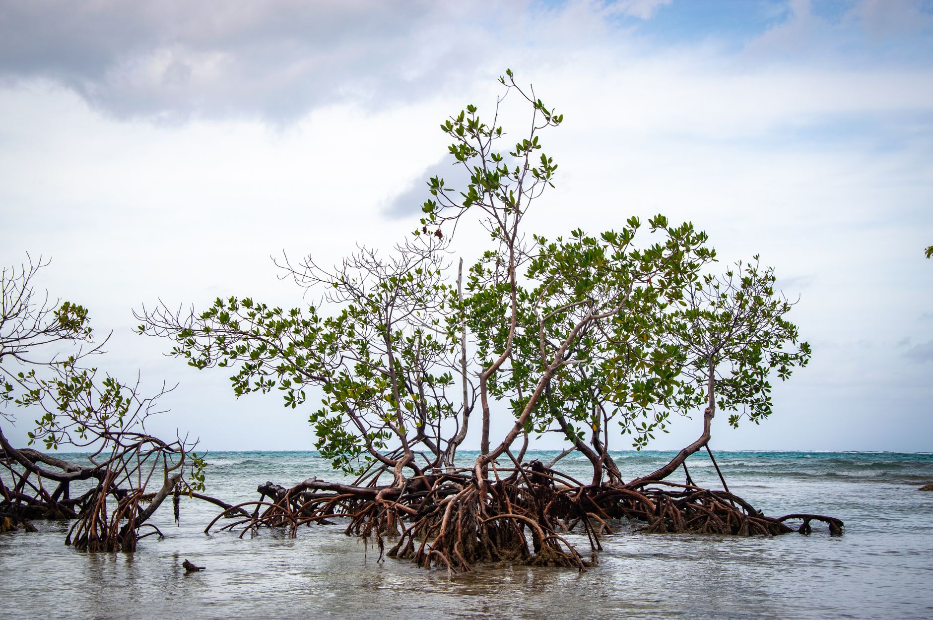
- Additional review where the property sits in or near an aquatic preserve, a manatee protection area, a seagrass bed or a mangrove fringe. Much of the water around Gasparilla Sound, Charlotte Harbor and Pine Island Sound carries protective designations, and mangroves are separately regulated.
Some routine, small residential structures may qualify for streamlined or exempt handling; many do not. Which category a given project falls into depends on the water body, the resources present and the project’s dimensions — which is exactly why the answer has to come from the agency, not from a neighbor’s recollection of what they were allowed to do in 2004.
How Docks Interact With These Rules
The dock question is where all of this becomes concrete, and where deals go sideways.
What buyers assume: “the lot has water, so I can put in a dock and a lift.”
What is actually true: whether you can, how far out, how wide, and with what shading of the bottom, depends on water depth at low tide, the presence of seagrass or other resources, the navigable channel’s location, the width of the waterway, local setbacks from the extended property lines, association rules, and the riparian rights of the neighbors on either side — whose view and access you may not unreasonably obstruct.
That last point deserves emphasis. Riparian rights are held by every upland owner along the water, and adjacent owners’ rights constrain each other. On a narrow canal with homes close together, the geometry can be tight enough that a dock configuration one owner wants is simply not achievable.
Also examine what already exists. An existing dock is not automatically a permitted dock. Ask for the permits and the closeout documentation. If it was built without authorization, or was rebuilt larger than what was approved, that becomes the new owner’s problem. Structures also have lifespans: pilings, decking, lift motors, cables and seawalls all age, and marine work is expensive. Have a marine contractor evaluate condition before closing, and see preparing a coastal home for market for the seller-side view of the same documentation.
If the home you’re buying comes with a slip instead of a private dock, the ownership question is different again — a deeded slip is real property, but an assigned or leased slip is not, and the distinction is worth understanding before you assume a boat slip carries the same rights a riparian owner has. See is a boat slip real property in Florida? for how to tell the three structures apart.
Finally, remember that a dock is only useful if you can get somewhere from it. Depth at low tide and any fixed bridge between you and open water govern that entirely, which is the subject of Pine Island Sound and the waters south of the harbor and, farther north, Boca Grande Pass versus Gasparilla Sound.
Who to Consult for Property-Specific Answers
For any question that begins “on this particular lot, can I…”:
- A Florida real estate attorney for ownership, boundary, easement, title and riparian questions.
- A Florida-licensed surveyor for the boundary itself, including the mean high-water line and the location of any existing structures.
- A licensed marine contractor experienced in your county for feasibility, condition assessment and the practical permitting path.
- FDEP and the relevant water management district for state permitting and sovereignty submerged land authorization.
- The U.S. Army Corps of Engineers for federal authorization.
- The county or city building and permitting department for local code and for the permit history on existing structures.
- The association for private restrictions.
- The county property appraiser for the recorded parcel record, and FEMA’s flood map service center for flood zone information.
A title company’s standard search and an owner’s title policy are also worth discussing with your attorney in this context. What a policy does and does not cover regarding boundaries and submerged land is a real conversation, not a formality.
Diligence Steps Before You Offer
A workable sequence for a waterfront purchase:
- Pull the plat and the recorded deed and read the legal description. Note any easements, dedications and restrictions.
- Order a current survey with the surveyor instructed to locate existing marine structures and, where applicable, the mean high-water line.
- Request the permit history for the dock, lift, seawall and any shoreline work, from the county and from FDEP.
- Get a marine contractor out to assess the seawall and dock and to give an opinion on what is achievable if you want to change anything.
- Read the association documents in full, including minutes, for marine-related rules and any pending assessment.
- Confirm the flood zone through FEMA and obtain any existing elevation certificate.
- Have an attorney review the title commitment, the survey and the riparian question together, before your inspection period expires.
None of that is exotic. It is the ordinary cost of buying property where the boundary is water, and it is far cheaper than discovering after closing that the dock you planned the purchase around cannot be built.
If you are evaluating a waterfront parcel anywhere from Cape Coral to Boca Grande and want a clear-eyed read on the water side of the property before you commit, reach out to Sabatino Campilii, Realtor®, License SL3363040. For the legal specifics, I will help you get in front of the right attorney and surveyor.
Sabatino can answer it in five minutes — no pressure, no listing-agent spin.

Realtor®, License SL3363040
25-year builder, developer, and licensed Realtor® representing buyers and sellers across the Southwest Florida Gulf-coast pockets. Reviewed and published July 22, 2026.
Have Sabatino represent you — before you call any listing agent.